Explore the Geometer ecosystem
Discover our other products, online tools and projects that help you work with GNSS, mapping and precision agriculture.
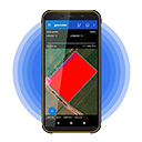
Geometer SCOUT
A powerful Android app for precise field area measurement and boundary mapping. Ideal for farmers, agronomists, and land managers.
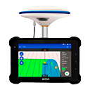
Geotrack Explorer
A high-accuracy guidance solution for tractors and agricultural machinery. Ensures precise parallel driving, reduces overlaps and skips, and improves field efficiency.
Agroprofile
A free online Farm Management Platform that helps farmers track fields, plan operations, monitor crop history, manage inputs, and improve decision-making.
Gismetrics
A collection of professional online GIS tools: split land parcels, generate soil sampling grids, create parallel lines for machinery guidance, and process KML files with precision.
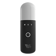
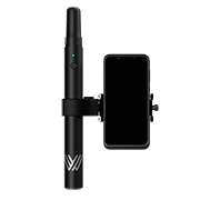
Walker 2 IMU
A lightweight and powerful GNSS RTK receiver delivering centimeter accuracy for surveying, mapping, and agricultural applications. Reliable, fast, and easy to use.
CORS GNSS
A service providing professional GNSS RTK correction streams, ensuring centimeter-level accuracy for geodesy, mapping, and precision farming across supported regions.
SurPad 4.2
A powerful GNSS surveying application supporting mapping, stakeout, CAD/DXF workflows, point/line/area measurements, and seamless integration with modern RTK receivers.

SurPad Community
An active online community where SurPad users can ask questions, share tips, discuss workflows, solve technical issues, and learn from real surveying and GNSS professionals.
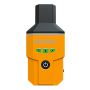
Walker RTK
A portable, high-accuracy GNSS RTK receiver designed for field data collection, GIS tasks, land measurement, and surveying operations. Compact, rugged, and easy to use.
GEORA
A lightweight GNSS RTK receiver featuring an integrated IMU for tilt compensation, delivering high-speed, high-accuracy surveying — even without leveling the pole.
MAPIOS
Online mapping platform for creating and managing maps for agricultural and geospatial tasks: field boundaries, soil sampling areas and more.
Need GIS development or looking to partner with us?
We’re ready to help — just reach out.